Location information is being used to make Singapore’s roads greener, safer, and easier to navigate. Using geospatial data to improve people’s lives is here to stay, as the Singapore Land Authority embarks on more cross-sector collaboration.
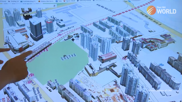
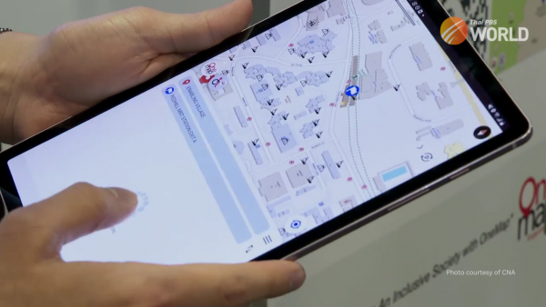
Developed by the Singapore Land Authority, the SLA App provides information that’s not available on normal maps. The map on the platform was designed especially for wheelchair users. The app was demonstrated at the Geo Connect Asia event in Singapore.
The chief data officer of the Singapore land authority said that the agency uses a geospatial and artificial intelligence app to collate the barrier-free access features such as ramps, lifts that are accessible and then overhead bridges with ramps. The information comes from S-L-A’s OneMap which brings together data from over a hundred sources and can then be mixed and matched to serve a wide range of uses.
For instance, a new agreement will see the container logistics sector tap this data to plan better routes. The app will show real-time traffic information and specifics on weight and height limits. With over 3,000 heavy trucks in the sector, this means less congestion and lower carbon emissions.


“We can do more efficiently, having less routing and less futile trips, at the same time safely. Because the road conditions and the truck size, the weight and things like that, it’s all very different in Singapore,” said Ricky Loo, the deputy president of the Container Depot and Logistics Association of Singapore.
The Sustainability and the Environment Ministry says this app is an example of how connecting the dots between data and people, is key to finding solutions to complex issues. While Singapore’s Senior Minister of State for Sustainability and the Environment, Dr Amy Khor, said that the diverse initiatives, collaborative projects and test-bedding across many sectors demonstrate the value and tangible outcomes that geospatial technologies bring.”
Beyond Singapore, S-L-A is also lending to international efforts on geospatial data sharing. It’s kicked off a three-year project with Saudi Arabia. The collaboration will see Singapore and Saudi Arabia exchange knowledge and experiences in various areas. That includes managing national geospatial databases and developing products and services to benefit citizens on both sides.
By Channel News Asia

